
We Always Find A Way


New Paper Map Releases
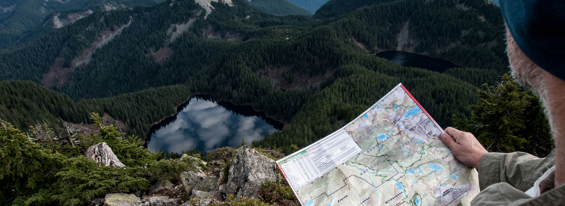
WATER PROOF, UNBREAKABLE, ULTRALIGHT CONTEXT FOR FREE AND SOLAR POWERED; NO BATTERIES REQUIRED!

Oregon Coast North Trail, OR No. 356SX

Wasatch Back, UT No. 4093SXL

Oregon Coast South Trail, OR No. 656SX

Alpine Loop, UT No. 4113SXL

Oregon Coast Central, OR No. 456SX

Three Sisters West, OR No. 589SX

Park City, UT No. 4092SXL

Mount St. Helens Climbing, WA No. 364S